Photogrammetry
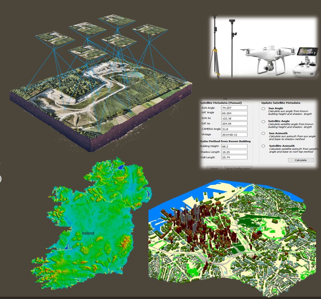
Photogrammetry
Stereo Solution
Mono Solution
Building Height Model (Raster and Vector)
Digital Elevation Model(DEM, DTM, DSM)
Land Use(Clutter)
Place of interests (POI)
Backdrop (Orthophoto)
Building Planimetric: (+/-) 1-2 mts (w.r.t.) Source Image)
Buildings Height: (+/-) 1-3 mts
if you are Intertested? please click Contact Now 'OR' Call +91-8433132122